Ooids
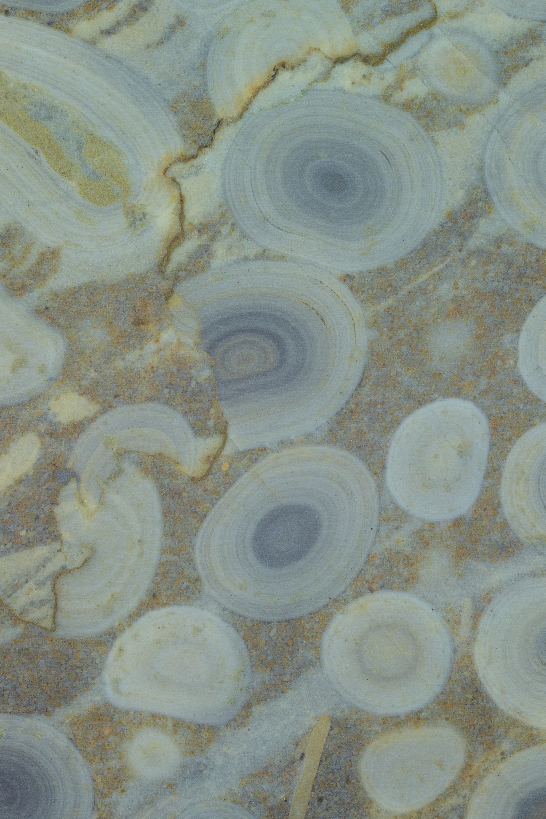
Ooids are one of the most common constituents of the carbonate rock record and there is a long history of trying to develop methods for using ooid size, shape, abundance, and mineralogy to reconstruct the conditions of the ancient ocean. These attempts have been hindered by the inability to make accurate measurements of ooid size and shape.
Through a series of numerical experiments, I realized that measurement errors associated with measuring a three-dimensional grain in two dimensions (e.g., thin sections and polished slabs) was introducing errors that overwhelmed the environmental signals encoded in the morphology of ooids. I then developed a method using GIRI to measure ooids and ooid growth bands in three dimensions.
Manuscript available here: [pdf]
In a follow up project, I measured the growth histories of ooids by tracing their laminations. I found that many of the popular models of ooid growth have been overestimating the role of abrasion in the formation of ooids. With these new insights into ooid formation, it became possible to better explain the distribution of ooids geographically and the abundance of ooids through the Phanerozoic.
Manuscript available here: [pdf]
K-Pg
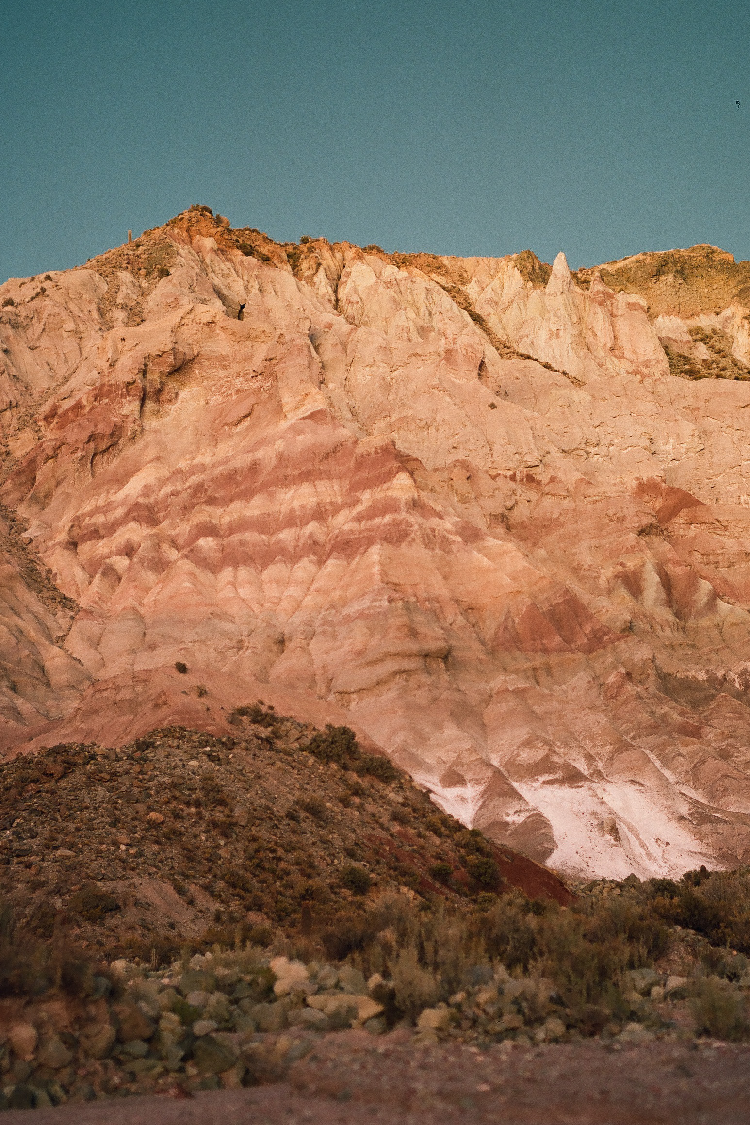
The extinction at the K-Pg Boundary is the most recent mass extinction, and its aftermath gave rise to flora and fauna that dominate the modern terrestrial ecosystem. However, there are very few terrestrial records of the extinction and recovery outside of North America. I have been working in the Potosi Basin in Bolivia alongside collaborators from Universidad Mayor San Andres (UMSA) to constrain the position of the K-Pg Boundary in Bolivia to improve our understanding of K-Pg.
We have used drones to map and make photo-orthomosaics of outcrops and test for cyclicity in the sediments. This cyclicity has been radiometrically-calibrated with U-Pb ages of zircon measured in the Schoene Lab at Princeton and provides the backbone for the chronostratigraphy of the Potosi Basin.
The sedimentological and geochronological work provides important context for the exciting paleontological work being led by teams from UMSA, University of Washington, University of Michigan, and the Denver Museum.
Source-to-Sink in the Red Sea
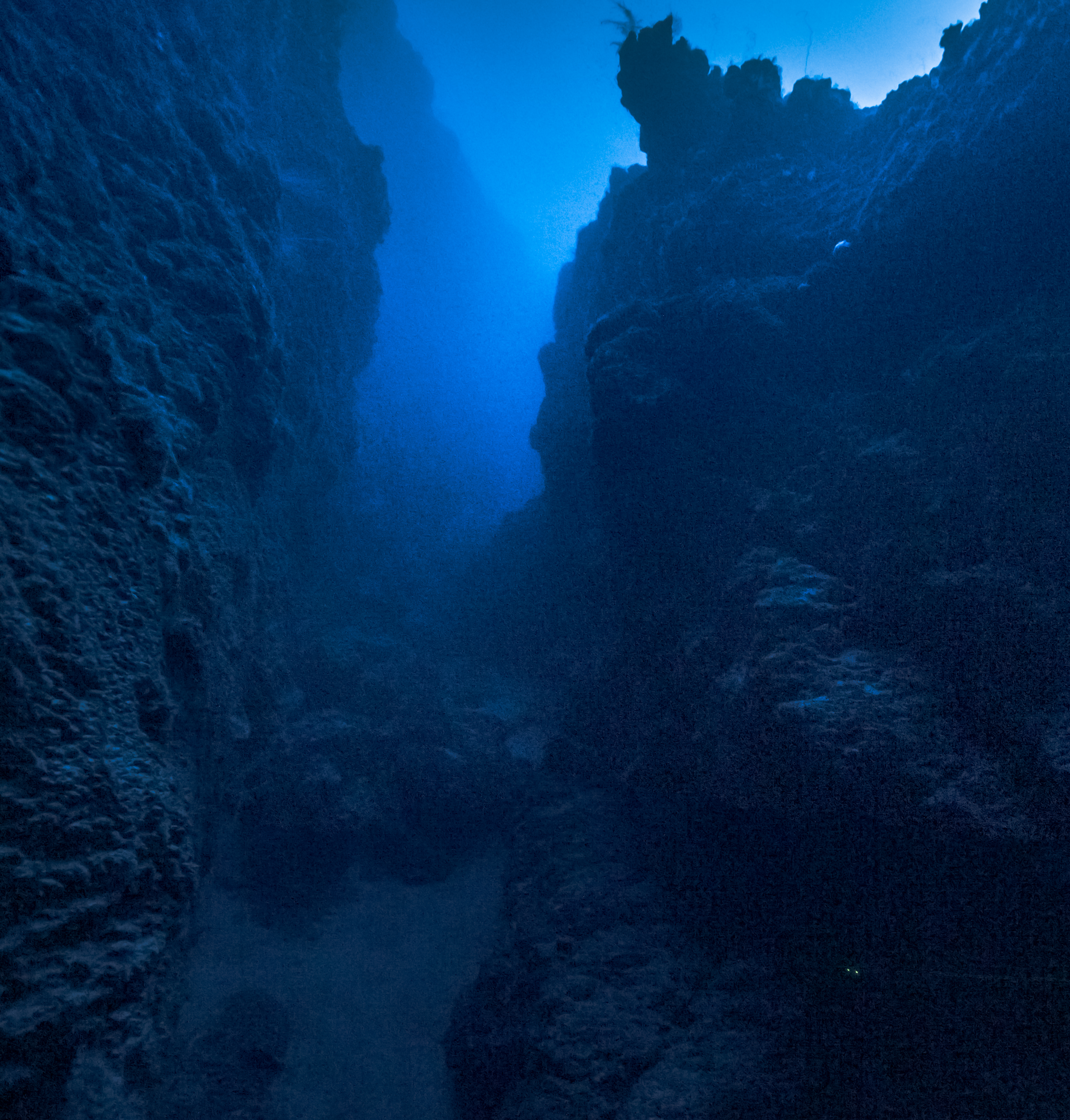
In my research on the Red Sea, I analyze geological and climatic patterns recorded in the sedimentary record. I start with reconstructing historical rainfall data through remote sensing and archival records. I specifically focus on identifying intense rainfall events that can lead to flash floods, given their significant risks to communities and infrastructure, and their likelihood of contributing to the deep-sea sediment record via hyperpycnal flows. With this reconstruction we can understand the fidelity and completeness of the deep sea sedimentary record as it pertains to recording terrestrial extreme rainfall events. I have also been working towards understanding how the lowstand deposits from Last Glacial Interval are being destroyed through erosion and mass wasting events despite being ~120 m below sea level.
A few papers from this project have been published. They are available [here], [here], and [here]
email: bolton.howes [at] wheaton [dot] edu | google scholar